Want to dive into some State data? Below are some helpful links to parcel maps, aerial imagery, LiDAR, address points, well locations, contaminated sites, and so much more.

The Tennessee Department of Environment and Conservation (TDEC) is Tennessee's Environmental Protection Agency. Their mission is to protect and promote human health and natural resources through regulations, conservation, and protecting unique natural, cultural, and historic areas of Tennessee. In a nutshell, their job is to protect and preserve our natural and historical heritage for future generations to use and enjoy.
TDEC finds it root all the way back to 1923 with the Department of Health and the Department of Conservation in 1937. But by 1991, the modern TDEC was created composed of 16 Program Areas that cover our air, lands, and waters.
Feel free to check out the links below and see what TDEC has to offer.
TN GIS Data Portal - Access to ortho imagery (aerial images), LiDAR data (elevation data), 911 address points and road centerlines, parcels, land use data, redistricting data, STS GIS data and map services, Open Data Portal, and TNGIC's Data Clearinghouse.
TDEC PFAS Sampling Strategy and Interactive Map - Learn about TDEC's ongoing sampling effort of all drinking water intakes and wells across the State as they determine the impact of PFAS on our drinking water.
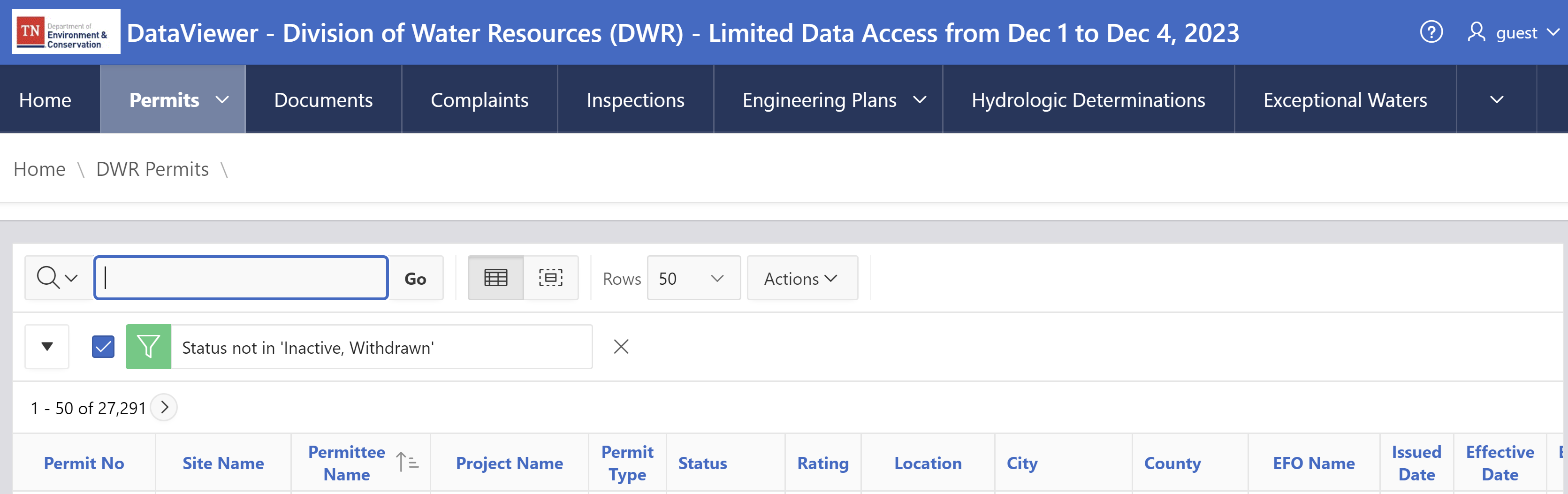
TDEC Data and Map Viewers - One stop shop for data. Access to data viewers ranging from permits to inspection data, oil & gas well data, rare species, solid waste and more.

- TDEC Division of Remediation Sites
- TDEC Underground Storage Tanks
- TDEC Water Resources (Stream Impairments, Water Quality Assessments)
- TDEC Hydrologic Determinations
- TDEC Water Well Map Viewer


