There's a whole lot of information available online. Here are some helpful links at the local, state, and federal level.

MLGW - Request Lead Testing Kits - Unsure about lead in your water. Request a kit and test it for FREE!!
MLGW Lead Service Line Map - Check out your address and see if you have lead service lines (make sure zoom in). Green is good, yellow is unknown, and gray is bad.
Memphis Data Hub → Public data on all sorts of things from service requests to crime data
Water Quality Reports - Shelby County
These reports are put out every year. Learn how you get your water from source to the tap and what's in it. To help understand these reports you can go to EPA's Understanding the Consumer Confidence Report.
City of Bartlett Water Quality Reports
City of Germantown Water Quality Reports
City of Millington Water Quality Reports
Town of Collierville Water Quality Reports
TN Department of Health Lead Sampling Program...the name says it all!
University of Memphis CAESER Midsouth Water Interactive Map - Contains helpful data for Shelby County and West Tennessee.
University of Memphis CAESER – Recharge - Learn about local aquifer recharge from the experts.
CUAHSI Hydroclient (Consortium of Universities for the Advancement of Hydrologic Science, Inc.)
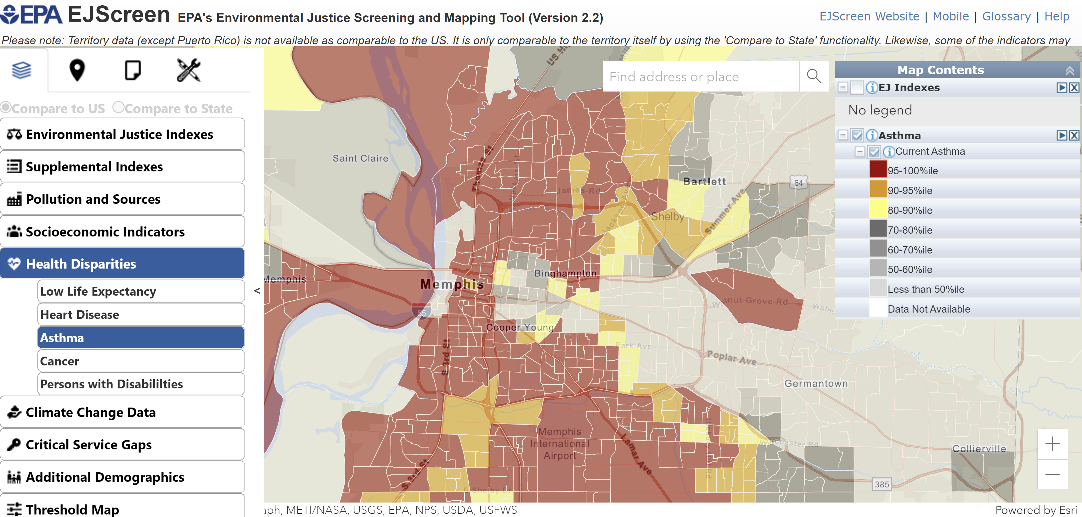
EPA EJScreen - provides demographic socioeconomic and environmental information for that area
Sampling Protocols
Lead Sampling Protocol - Simple steps to sample your water from the tap.
EPA Soil Sampling Procedures - this document gets into the weeds a bit. But if you're curious about sampling soil on your property. Here are some ways to do it.
QGIS - Open source mapping tool similar to ESRI ArcMap (Windows, iOS, Android)
ProUCL Software - EPA statistical software used to analyze environmental datasets


